Project Narrative
Visualizing Environments with Augmented Reality
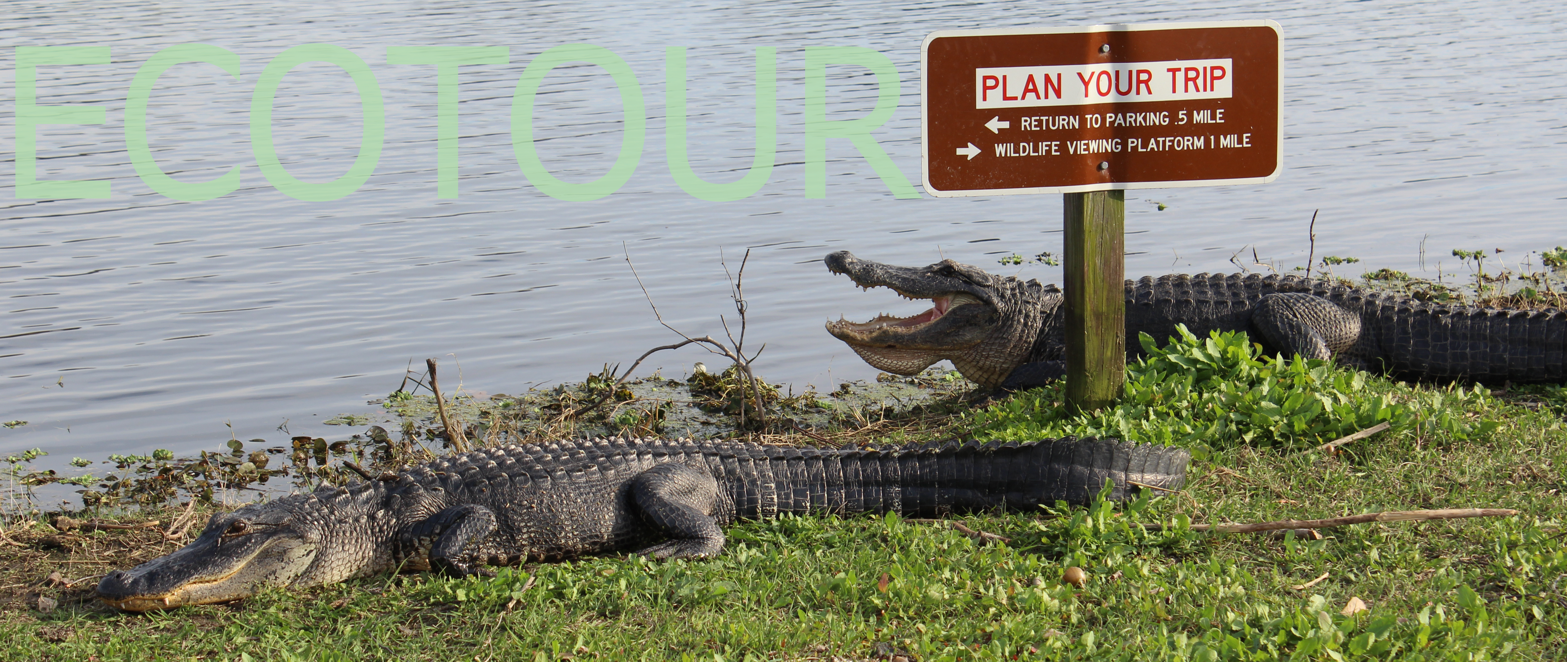
A unique system of uplands and freshwater wetlands, Alachua County’s Paynes Prairie became Florida’s first state preserve in 1971 and is home to more than 20 biological communities and over 400 species of wildlife. Visitors often walk the La Chua Trail in hopes of seeing alligators, bison, wild horses or a vast array of birds. However, while Paynes Prairie offers many spaces for viewing the natural world in its splendor, the preserve lacks on-site educational spaces that make visible the environmental threats to the Prairie. This open access digital walking tour connects the ecological history of Paynes Prairie to the physical environment. EcoTour helps users visualize the complex ecology of the prairie’s natural environment, human development, and community interaction.
About the Prairie
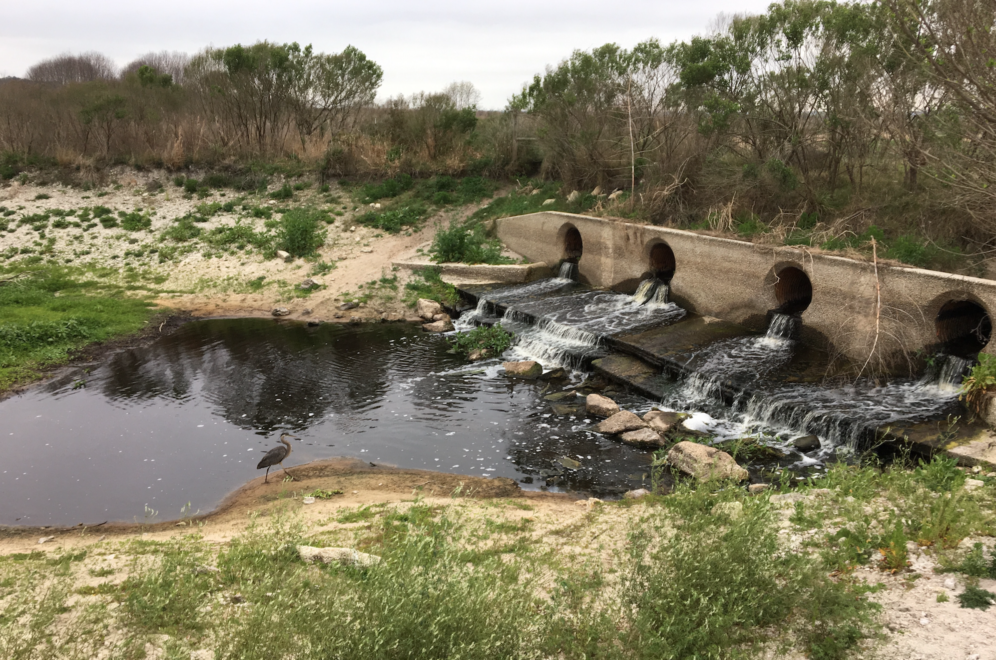
Paynes Prairie encompasses over 21,000 acres of savanna and over 121,000 acres of watershed directly connected to the Alachua County Sink and the Floridan Aquifer - deemed the “Great Alachua Savanna” by William Bartram in 1774. Yet, over a hundred years of development, redevelopment, and polluted stormwater runoff have degraded Florida’s water systems, affecting the delicate ecology of Paynes Prairie as well as the local hydrology. In the 1920s and 30s, canal systems cut through the Alachua Savannah and rerouted water coming into the Prairie Basin and the Alachua Sink. Construction of US Route 441 and later I-75 divided sections of the land and further altered the ecological balance. Subsequent urbanization and development throughout Gainesville increased water pollution and sewage runoff. Additionally, years of wood treatments and illegal dumping at the Cabot/Koppers superfund site leached creosote, chromated copper arsenate and other harmful toxins into the soil, contaminating the Floridan Aquifer, the source of 90% of Florida’s drinking water and the source of much of the prairie’s water flow. Overpumping of the Floridan Aquifer by bottled water companies and corporate farming interests has placed additional strain on these connected ecosystems.
Community Restoration
Since becoming a state preserve, state and local organizations such as the Alachua County Trust and the Springs Eternal Project have worked to restore the natural environment and educate the community about the prairie’s biological diversity, cultural history, and environmental importance. Building on the momentum of community projects, EcoTour: Visualizing the Environment of Paynes Prairie extends environmental education into the digital realm to help spread awareness concerning the ecological threats the park faces. Overall, EcoTour works to promote:
- Ecological awareness and environmental literacy within local communities
- Independent exploration of the Paynes Prairie preservation area
- Collaborative public writing that encourages the community to participate in preservation efforts and community education
- Methods for engaging environmental activism that others can extend and reproduce
Education
EcoTour functions as a downloadable smartphone application that helps visitors access information about the human-caused environmental threats facing Paynes Prairie. Similar to an audio walking tour, the app allows users to walk through the La Chua trail and learn more about the ecological diversity and environmental threats within the preservation area. Different than a traditional pamphlet or map, EcoTour provides access to a large repository of information using technology that most people already have in their pocket, a technology that can evolve and update in real time with the environment.
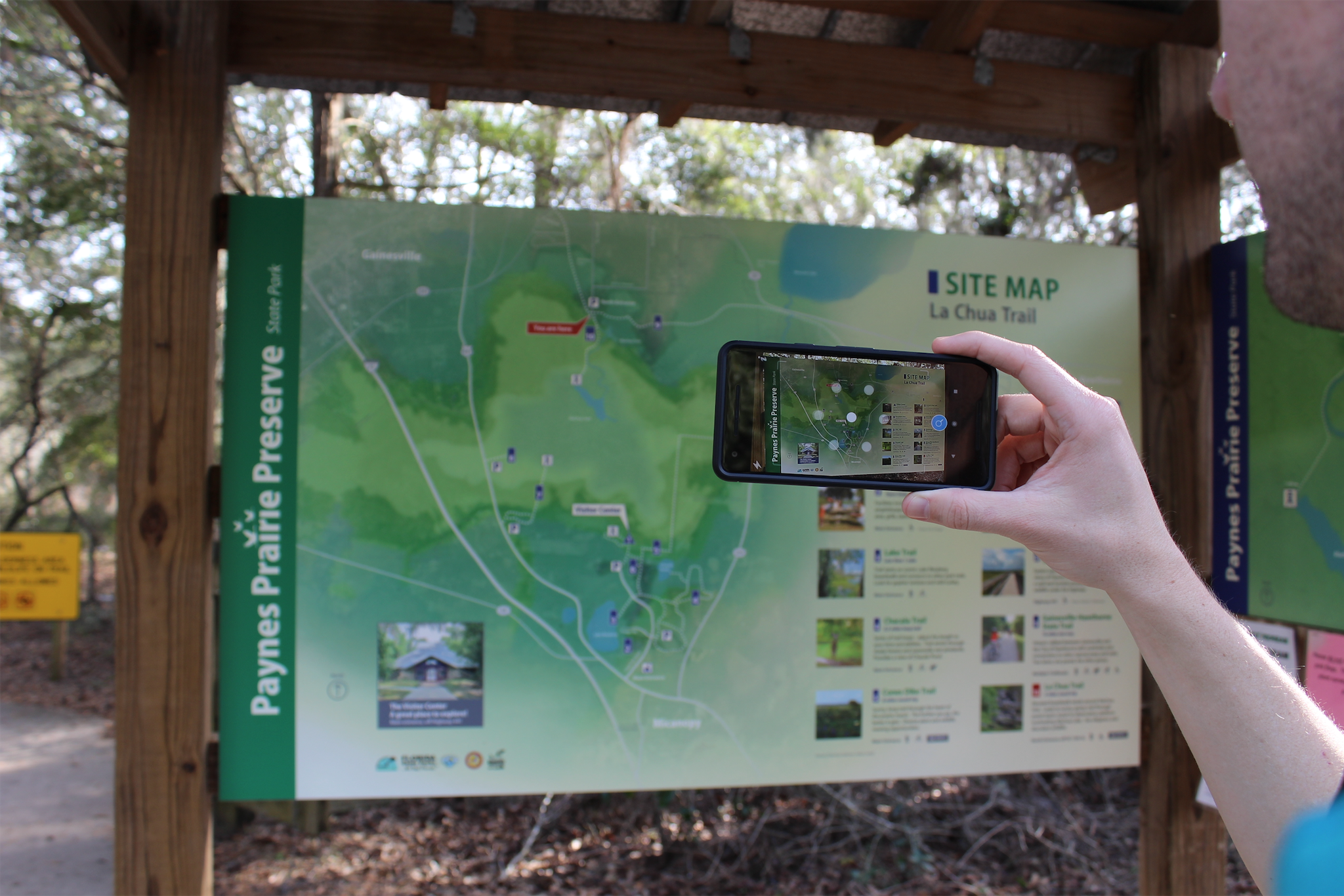
This project incorporates a new kind of mobile smartphone technology known as “augmented reality.” Augmented reality technology works similarly to Quick Response (QR) codes by linking physical triggers within the real world (signs, posters, buildings, etc.) with digital information that appears on a live-camera view of the user’s smartphone screen. If a user opens the augmented reality application and points the phone camera at a specific posted sign, the camera detects the physical characteristics of the sign and initiates a digital overlay. Augmented reality overlays allow users to receive additional information on their mobile device screens.
EcoTour demonstrates the viability of mobile augmented reality as a platform for promoting community engagement with local environmental issues. By encouraging members of the UF and Gainesville community to engage with the trail in this way, we hope to provide not only awareness of the damage being done to our ecosystem, but to foster change by enacting a sustainable and emplaced critique.